11 August 2020

When Does an Airport Become Essential Infrastructure?


Kāpiti Coast Airport’s shaky future has prompted calls for the district’s council to step up and buy itself an airport. Kāpiti Coast District Council says the airport is worth millions to Kāpiti annually and it “welcomes further discussions” with the owners. It comes as airlines fight back against owner NZPropCo’s (NZPC) criticism of the airport, bought last year as part of a nationwide package. Air Chathams general manager Duane Emeny said the Kāpiti service had gone from the company’s weakest to its strongest route, “pound-for-pound” post-Covid-19. Before lockdown, Air Chathams was operating 24 flights in and out of the airport to Auckland. Post-Covid it was 16.

Source : https://www.stuff.co.nz/dominion-post/business/122399600/kpiti-coast-airports-shaky-future-the-council-needs-to-buy-it

An Unusual Request...

Yesterday I received an email from Brian Smith from the Air Mail Society of New Zealand... Brian writes...
It's a few years since your blog about NZ Aerial Mapping (https://3rdlevelnz.blogspot.com/2014/09/mapping-nz-aerial-mapping.html)but I wonder if you are still around and able to answer the following query, please?
Forest Service photographer John Johns had a close association with NZAM, I think in the 1960s and 70s, perhaps also later. I met John in 1979 and he was my photographic mentor until his death in 1999. Since then I have worked with his widow and family in sorting and cataloguing the large collection of prints he left behind. It's been a slow process, but is nearing completion.
From time to time John used to talk to me about a 4x5 camera used for oblique aerial shots. The camera was constructed by an instrument maker, Geoff Hunter. John had some role in this, perhaps relatively minor, but I suspect he was a principal user of the camera. 
John was fanatical about quality, and some photographs that I have of his are remarkably sharp. I also have a couple of shots of the camera itself, although they show only the front, the NZAM logo, and the lens. These two prints show two different lenses; it appears that the lenses had some sort of bayonet mount.
Because of my long association with John - and my continued practice of large-format film photography - I'm interested in tracking down this camera, but have no idea whether it still exists or where to start looking. Perhaps you can help, please? I don't necessarily want to buy it, but am interested to see it and learn how it was used.
If you know of the camera and have any information about it you'd care to pass on, I'd me most grateful.
PS. I have another rather tenuous association with NZAM. My grandparents founded Hastings photography firm, Lovell-Smiths. My parents both worked there, and my uncle, Peter Hammond, knew Piet van Asch, I think quite well. Perhaps 30 years ago, at John's instigation, I was given a tour of NZAM's premises and was rather overwhelmed at the scale of the equipment!
If you can help Brian please contact him on smithcbrian2@yahoo.com


East Coast Explorer

Yesterday I had the amazing experience of flying around the East Coast with Andy Stevenson in his Piper PA-46 Meridian ZK-UTE...

Lined up on Runway 32 at Gisborne

Aorangi and Waitahaia River

Aorangi

Hikurangi at 1,752 m (5,748 ft) is the highest peak in the Raukumara range - trying to hide in the cloud. It is the North Island's highest non-volcanic peak


On the other side of Hikurangi - The Tapuaeroa River


Aorangi from the other side...

and Hikurangi from the other side


A look at the erosion on Tapuaeroa River
Ruatoria
Waiapu River

Tikitiki

Waiapu River looking down the Coast
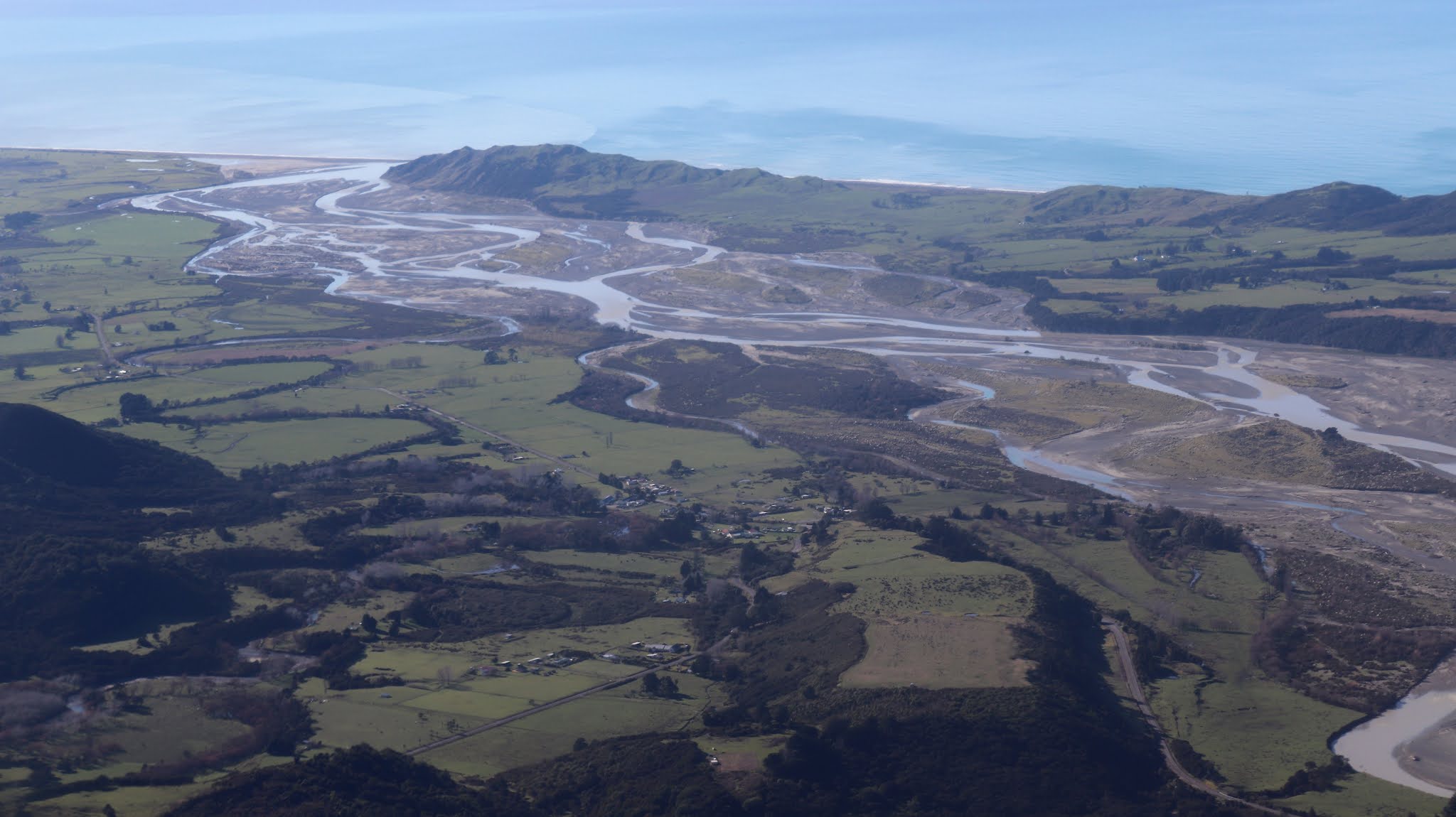
Waiapu River with Hikurangi clear now in the distance 

Port Awanui - Shipping came here until the 1930s. The wharf has long gone

A beautiful day down the Coast
Another look at the erosion... Andy talked about earth flow as akin to the ice flow on the glaciers.

Whareponga 
Waipiro Bay
The community of Te Puia Springs and Whakauparangi peak
Forestry - a blessing and a curse on the East Coast
Entering Tokomaru Bay
Tokomaru Bay wharf

Tokomaru Bay
Mawhai Point
Motuhina Island and Nuhiti
Motuoroi Island and Anaura Bay - Cook's Landing Place 1769

Paerau Point

Karaka Bay
Tolaga Bay


Cooks Cove in front of the wing... He took Endeavour in there
More of Tolaga Bay


The old coach rode that went along the Coast
Gable End Foreland and Light
Sam fishings for crays
Whāngārā, the setting for Whale Rider. The legendary voyager Paikea reached Whāngārā after journeying from Hawaiki on the back of a whale. The whale became the rock, Whāngārā Island, at middle right in this image, with its distinctive ‘whale’ shape.


Wainui and Gisborne

Views of Gisborne before rejoining for Runway 32


Add caption


My ride, Piper PA46T Meridian ZK-UTE